| Sowams Heritage Area | |
|
Sowams
Area Overview ||
Map
of Historic Locations
||
Sowams
Videos ||
Heritage
Area Corridors ||
Advisors
|
|
|
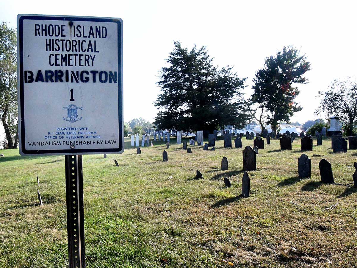
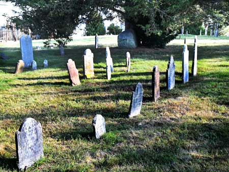
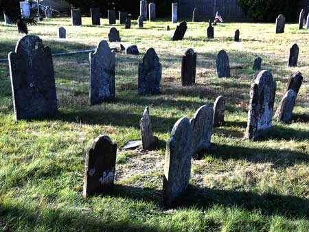
Tyler Point Cemetery |
|
|
In 1680, following the King Philip War, a meetinghouses location was changed from Nockum Hill to Tyler Point on New Meadow Neck. The Tyler Point Cemetery, at the end of Tyler Point Road, was established in 1702 adjacent to this second Baptist meetinghouse.
|
|
|
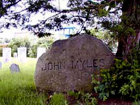
Rev. John Myles moved the Baptist Church here from Nockum Hill in 1667. |
After the KP War, John Miyles returned from Boston and was buried here. |
|
The cemetery contains the earliest grave in the town of Barrington. |
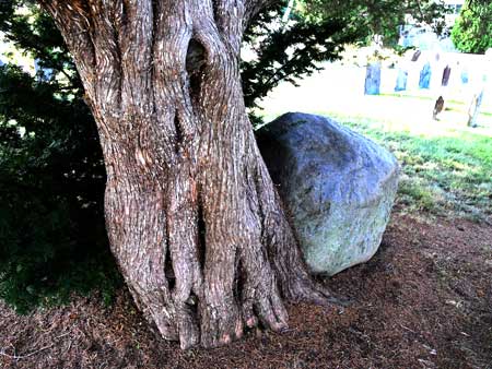
Hugh Cole was buried here after the King Philip War, but there is no marker. |
|
Click on map below to see a Google satellite map of this location.
The cemetery is at the end of Tyler Point Road off of Route 114 between the Warren and Barrington bridges.
|
|
|
Click here for a history of Tyler Point on page 9 in the Historic and Architectural Resources of Barrington,Rhode Island. Click here to read about Tyler Point in Thomas Bicknell's History of Barrington, Rhode Island starting on page 90. Click here to read a Barrington Times article about the repair of some of the cemetery's gravestone markers. Click here for the Find-a-Grave web page for the Tyler Point Cemetery. |
|